highlights
Due to the new western disturbance coming on March 29, there may be heavy snowfall in the mountains.
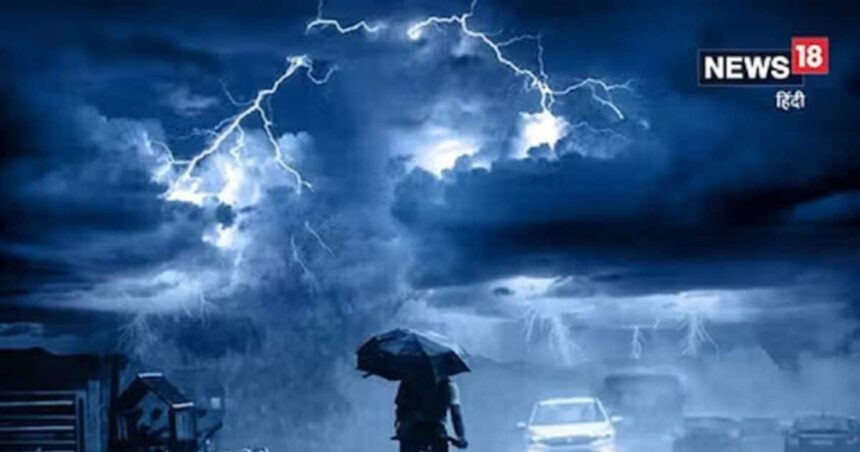
There may be moderate rain in Northeast India as well as in Delhi-Punjab and Haryana today.
New Delhi: The effect of rising temperatures has started becoming visible in most of the states of the country. In such a situation, the news from the Meteorological Department is of some relief. In fact, a fresh western disturbance is likely to affect the western Himalayan region from March 29. Talking about the weather of Thursday, March 28, according to the report of Skymet Weather, light to moderate rain is possible in Northeast India and Sikkim. There may be some moderate rain with light rain over the Western Himalayas. At the same time, there is a possibility of light snowfall in the upper areas of the Western Himalayas. Whereas there is a possibility of sporadic light to moderate rain in some parts of Punjab and Haryana and Delhi.
Western disturbance has arrived in the Western Himalayas. Weather related activities have already started with the sky being cloudy and after this there is a possibility of sporadic rain in the area. Another western disturbance will arrive on March 29, which will be even more active than the present one. Due to this, there is a possibility of rain and snowfall in wide areas of hilly states. There will be strong thunderstorms in some areas and possibly hailstorm in low lying areas.
Jammu and Kashmir will have to face the wrath of weather systems more than other states. Uttarakhand will have the least impact and that too for a short period of time. Intensity and spread will increase on 29 and 30 March. There may be a slight decrease on March 31, but a big improvement is expected from April 1. Even after partial withdrawal on 01 April, it is unlikely to clear completely and the remaining weather system will maintain sporadic and light weather activity for subsequent 3-4 days.
,
Tags: Delhi Weather Update, IMD alert
FIRST PUBLISHED: March 28, 2024, 05:58 IST