Publish Date: | Sat, 19 Feb 2022 08:16 PM (IST)
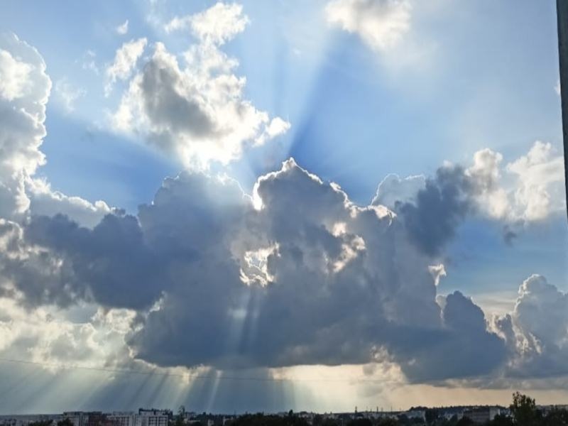
MP Weather Update: Bhopal (Navdunia Representative). Due to two weather systems formed at different places, the direction of the winds has changed to southeast. Due to the moisture coming from the Bay of Bengal, the districts of Jabalpur-Hoshangabad divisions are receiving rain at some places. In this sequence, from 8.30 am to 5.30 pm on Saturday, nine in Mandla, eight in Betul, 0.4 in Jabalpur, 0.1 mm in Chhindwara rained. There is a possibility of light rain at these places on Sunday as well. There is a possibility of some drop in the night temperature in the districts of other divisions of Madhya Pradesh due to cloud cover from Sunday.
Meteorological Center Meteorologist PK Saha said that at present a cyclone is forming in the upper part of the air over Madhya Maharashtra. A cyclonic circulation remains in the upper part of the air over southeast Bay of Bengal. The direction of the winds also remains south-east. Due to this the moisture coming along with the winds is cloudy. Along with this, it is raining at some places in the districts of Jabalpur, Hoshangabad division. The day and night temperature has also increased due to cloud cover and change in wind direction. Bhopal recorded a maximum temperature of 30.4 degree Celsius on Saturday. Which is two degrees above normal. be more. It was Friday’s minimum temperature of 29 degrees Celsius. than by 1.4 degrees. be more.
The minimum temperature is 16 degree Celsius. Recorded. Which is three degrees above normal. stay more. It was Friday’s minimum temperature of 13.4 degrees Celsius. compared to 2.6 degrees Celsius. be more. Ajay Shukla, former senior meteorologist of the Meteorological Center, said that there is a possibility of cloud cover from Sunday. Due to this there will be some drop in the night temperature. On February 22, after the arrival of another Western Disturbance in North India, the clouds will start forming once again. This will again increase the night temperature.
Posted By: Prashant Pandey