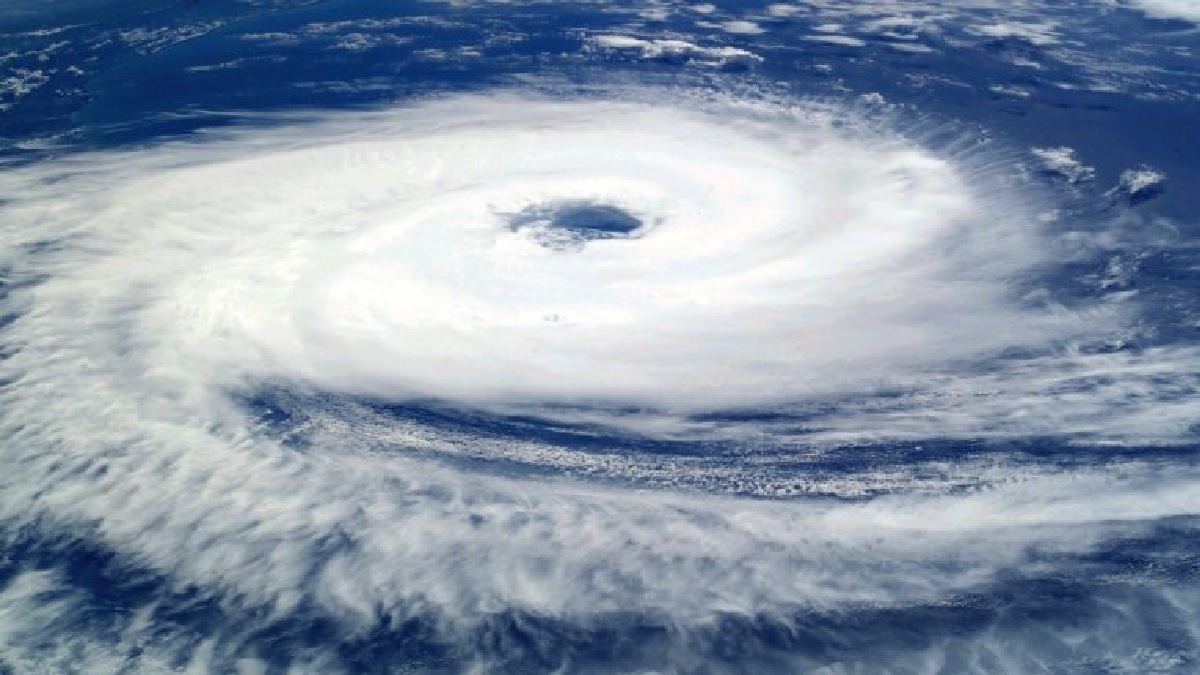
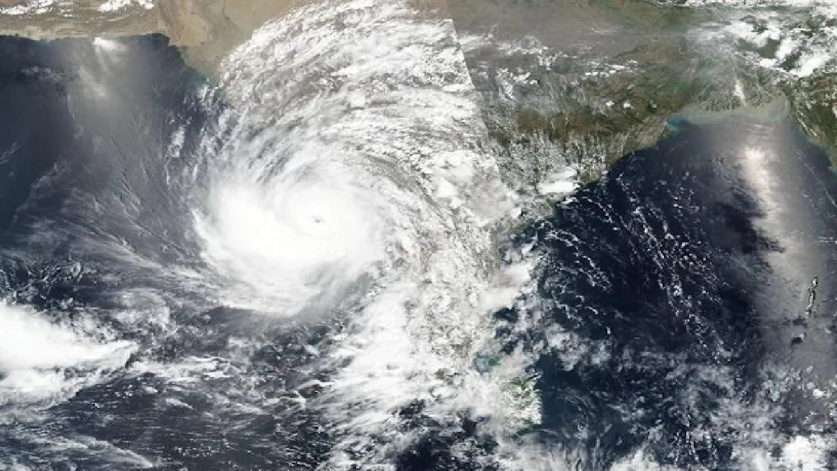
New Delhi. On one hand, people are suffering due to the scorching heat in North and Central India, while this time the situation in South and Northeast India is also similar. The temperature of 48 degrees Celsius is scorching people in many cities. However, in the meantime, signs of a major seasonal change are visible. There is a strong possibility of the low pressure area over the Bay of Bengal becoming more intense. Along with this, meteorologists are expecting the formation of a cyclone. According to the information that has come out from the Meteorological Department, this cyclone can hit the Bay of Bengal by the evening of May 25.
If this storm hits, strong winds of 102 KM speed will blow on Sunday. Due to this, IMD has issued an advisory warning fishermen to avoid going to South Bay of Bengal till 24 May, Bay of Bengal till 26 May and North Bay of Bengal from 24 to 27 May morning. According to IMD, due to this storm, there is a strong possibility of heavy rain in West Bengal, North Odisha, Tripura, South Manipur, Mizoram on 26 and 27 May.
Monsoon Outlook of-
According to the IMD, India is expected to experience normal monsoon between June and September.
- The country is expected to receive 102% of the long period average (LPA) rainfall, which is 868.6 mm.
- Central and western regions may receive above normal rainfall.
- Normal rainfall is expected in the northern and southern regions.
- North-eastern and eastern parts of India may receive less than normal rainfall.
How does a storm form in the Bay of Bengal?
Sea surface temperatures in the Bay of Bengal are usually above 26.5°C (79.7°F), the threshold for cyclone formation. Warm waters provide the necessary heat and moisture to the atmosphere, creating a favorable environment for cyclonic activity. Cyclones often form from pre-existing weather disturbances, such as low pressure areas or tropical waves. These disturbances cause convergence of moist air at the surface, causing the air to rise and form clouds. There are many other reasons behind this.