
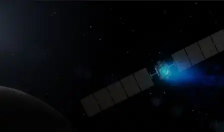
New Delhi, May 9 (IANS). Celestial navigation is a modern technology, which helps spacecraft to know their exact location. In this, photographs of stars, planets, moon and other celestial bodies of the solar system are used. This technology of the American space agency NASA works especially for missions around the Moon and deep space.
This technology enables spacecraft to navigate autonomously. Celestial navigation requires only a camera and a processor to run. This significantly reduces dependence on ground stations during missions.
According to NASA, this technology offers many important advantages. First of all, celestial navigation helps spacecraft to operate safely because it does not require constant contact with the Earth. Especially when there is a huge distance between the Earth and the spacecraft and it takes a long time for the message to reach. It is also useful for small missions because Deep Space Network (DASN) is time expensive.
With the help of celestial navigation, missions can spend most of their time sending data. Additionally, it provides additional security with radio tracking. It has been proving very useful for NASA’s Artemis program and other Moon missions.
Now the question is how does celestial navigation work? According to scientists, this technology is part of NASA’s Auto NGC i.e. Autonomous Navigation Guidance and Control software suite. Auto NGC is built on the Core Flight System (CFS). In this, a tool called CGIANT is used which analyzes the photographs.
This tool measures the direction of several celestial objects visible in 2D images taken from spacecraft. These measurements are sent to a navigation system called GEONS, which performs calculations to keep the spacecraft in the right place. This entire process happens onboard, that is, the spacecraft does everything itself.
–IANS
mt/pm