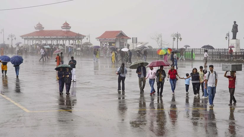
A dangerous weather system is rapidly forming in the Bay of Bengal and may take the form of a cyclonic storm in the next 3 days. The Indian Meteorological Department (IMD) has issued a warning that its biggest impact will be on Odisha and West Bengal, where there is a possibility of heavy to very heavy rain from Monday.
⚠️ Odisha and Bengal became the biggest targets
According to IMD, the low-pressure area formed in the south-east and east-central Bay of Bengal may turn into a cyclone by October 27.
Between 28th and 30th October:
Very heavy rain in Odisha and Bengal
Yellow alert in many districts, later state-wide warning
Strong winds and rough seas
There is an alert of lightning, thunder and heavy rain in 21 districts of Odisha and 24 Parganas of West Bengal, Medinipur, Jhargram, Howrah, Kolkata and Hooghly.
🌧️ Rain havoc in Northeast also
Due to the moisture from the cyclonic winds, there will be heavy rains in the northeastern states also.
On 29–30 October:
Rain in Assam, Meghalaya, Nagaland, Manipur, Tripura, Arunachal
Possibility of storm and lightning in many areas
🌩️ Rain continues in South and Central India also
It has been raining in Maharashtra, Goa, Gujarat, Madhya Pradesh, Vidarbha, Chhattisgarh and Andaman for the last 24 hours — and this will continue till Saturday.
Strong winds with speed of 40–50 km/hr may occur at many places.
Rain including thunder and lightning is in effect in Tamil Nadu, Puducherry and Karaikal till October 28, while an alert for heavy rain is in effect in Cuddalore, Puducherry, Villupuram and Chengalpattu.
🥶 Cold will knock in Eastern Uttar Pradesh and Bihar
Due to the effect of rain, the weather will now start getting colder.
According to IMD:
Temperature in eastern UP and Bihar may drop by 2–3°C in next 2 days
This means that soon the effect of cold will be felt strongly.


