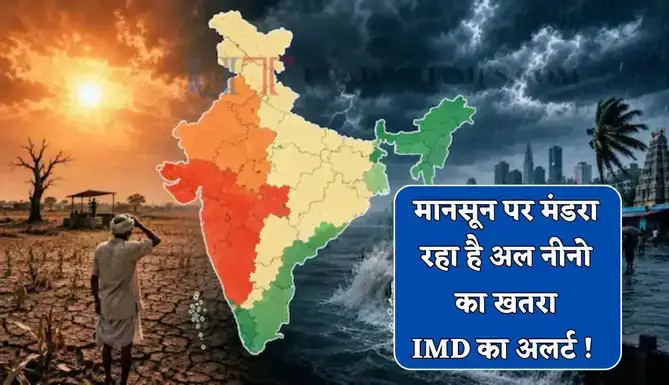
The predictions made by Indian meteorologists have now come true. El Nino, a phenomenon that adversely affects the south-west monsoon, has become active in the country. It is expected to intensify further in the coming days. Meteorologists of India Meteorological Department (IMD) and Earth System Science Organization (ESSO) have confirmed this. El Nino is expected to have two main effects: increased temperatures and reduced rainfall. Indian farming depends heavily on monsoon rains, so the lack of rain will affect millions of people across the country.
An important weather related incident has come to light during the south-west monsoon season in the country. The India Meteorological Department (IMD) and the Earth System Science Organization (ESSO), under the Ministry of Earth Sciences, in their latest bulletin have confirmed that El Nino conditions have become active in the Pacific Ocean and are likely to strengthen further during the monsoon. Experts believe that if El Nino reaches moderate or strong levels, it could affect weather patterns in many parts of the world, including India.
El Nino activated in India
According to IMD, El Nino has become active in India. According to a report of *Hindustan Times*, the current marine and atmospheric signals from the equatorial Pacific Ocean clearly point towards El Nino. Sea surface temperatures have been recorded higher than normal and the amount of warm water beneath the surface has also increased. This situation shows that the phenomenon of El Nino is not limited to the surface only, but its effect extends to the depths of the ocean as well. El Nino is a global climate phenomenon that develops when surface temperatures in the central and eastern Pacific Ocean rise above normal levels. This weakens the trade winds and changes normal weather patterns. As a result, some areas may experience excessive rainfall and floods, while others may experience drought and rising temperatures.
Sea surface temperatures were above normal in the central and eastern Pacific Ocean during May. Temperatures also rose in the western Pacific, Indian Ocean and many other regions. Water remained warmer than normal in most areas, including the Indian Ocean, Arabian Sea and the Bay of Bengal. The heat was spread over a larger area in May than in April, a trend that is being seen as a sign of El Nino strengthening. According to IMD data, there have been significant changes in the ENSO (El Nino-Southern Oscillation) cycle last year. Conditions were neutral in mid-2025, but La Nina was in effect from August 2025 to February 2026. The situation became neutral in March 2026 and now by June it has reached El Nino conditions.
**Bad effect on monsoon**
Monsoon Mission Coupled Forecast System (MMCFS) projections suggest that El Nino is likely to strengthen further between June and September and persist throughout the monsoon season. At the same time, the Indian Ocean Dipole (IOD) remains in a neutral position and models show that there will be no significant change in it during the monsoon. Experts say that although El Nino is not the only factor affecting India’s monsoon, its intensity can change the distribution of rainfall and temperature patterns. Therefore, meteorologists are keeping a close eye on this situation in the coming months.


